 Catàleg local de Mallorca
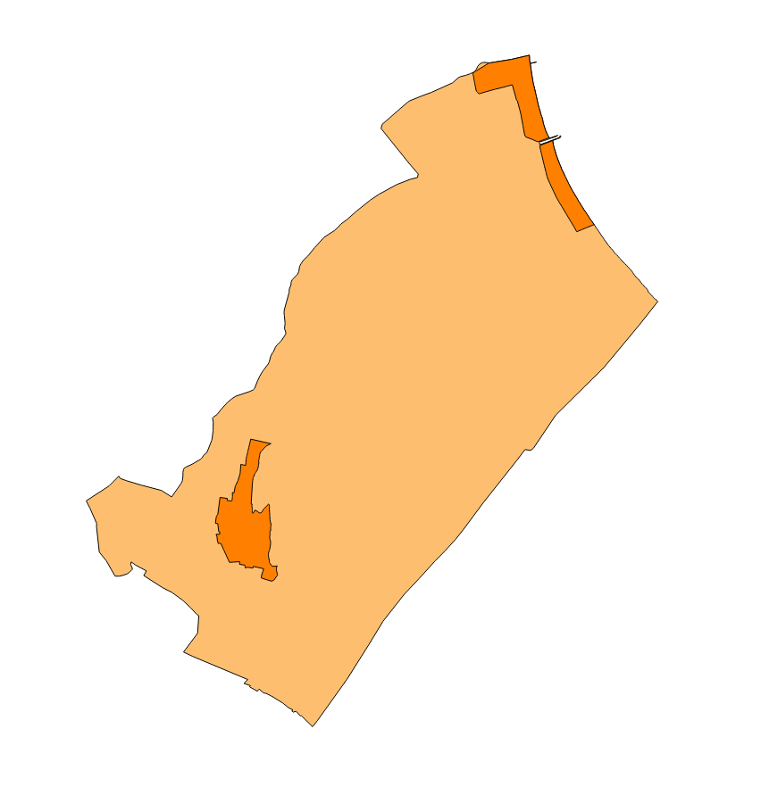
Ajuntament de Muro
Type of resources
Available actions
Municipios
INSPIRE themes
Keywords
Contact for the resource
Provided by
Years
Formats
Representation types
Service types
Scale
-
Data set containing elements and areas protected by municipal legislation. The protection is provided by the Subsidiary Regulations of the municipality of Muro in 2003. The Protected layer. Sites recognize all protected elements (deposits, mills, possessions, natural areas, etc.). We also find several layers according to the type of Designation, Scheme of Designation and Protection Classification. Urban elements are digitized at 1: 1,000 scale and rustic elements, at 1: 5,000 scale. The reference system: ETRS89. Projection system: UTM fus 31. Storage format: PostgreSQL.
-
Cartography of the toponymy of the municipality of Muro. The names refer to the topics of the INSPIRE Directive Utility And Governmental Services, Land Use, Protected Sites and Transport Network of the INSPIRE Directive. Cartography generated in 2015. The sources are the Muro Subsidiary Rules of 2006 for the names of Protected Places and Land Use; and the CartoCiudad project, version 2012, for the names of Transports. The names of the urban elements are on a scale of 1: 2,000 and the names of the elements of rustic, on a scale of 1: 5,000. Reference system: ETRS89. Projection system: UTM fus 31. Storage format: PostgreSQL.
-
Cartography of the Utility And Governmental Services of the municipality of Muro. Reference system: ETRS89. Projection system: UTM fus 31. Storage format: PostgreSQL
-

Data set containing the management areas of the municipality of Muro. The cartography was taken from the 2003 Revisión of the Muro PGOU. The AM.ForestManagementArea layer is a polygon layer and contains managed, restricted, or regulated forest areas that follow the INSPIRE data model. Scale 1: 5,000. The reference system: ETRS89. Projection system: UTM zone 31. Storage format: PostgreSQL.
-
Areas of possible erosion risk according to the 2003 PGOU de Muro Review. Map scale 1: 25,000. Reference system of the ETRS89 file, axle 31 (EPSG: 25831). Original format dwg i pdf. The PGOU de Muro is the integral planning tool of the municipal territory, defines the basic elements of the general and organic structure of the territory; classifies and classifies the soil, establishes the legal regime of classes and categories, determines the permissible uses in the soil and the intensity in which they can be developed, and establishes the program of action for the development of their forecasts. The PGOU de Muro of 2003 was drafted to implement Royal Decree 2159/1978 of June 23, which approved the Regulation of Planning for the development and application of the Law on Soil Regime and Urban Planning.
-
Cartography of the network of roads, roads and streets of the municipality of Muro. It refers to the topic Transportation Networks in Annex I of the INSPIRE Directive. Mapping generated in 2014. The sources are the streets and paths of the Cartociudad's project, wich are update with the staff's knowlege of the council. Scale 1: 2,000 the streets and scale 1: 5,000 the roads and roads. Reference system: ETRS89. Projection system: UTM fus 31. Storage format: PostgreSQL.
-
Web Map Service that allows you to access maps of the elements of sites protected by municipal regulations. The service contains the general layer called Protected. Sites where there are all protected elements, and also several layers according to the classification of protection, the Designation and the Designation Scheme. The symbolism associated with layers is defined by the INSPIRE specifications. Access to this service is free provided that the Council of Muro appears as the owner of the data and Consell de Mallorca as the owner of the service. The protected areas of the urban zones are at 1: 1,000 scale and the elements of rustic areas are at 1: 5,000 scale.
-
Data set containing the protected buildings of the municipality of Muro. The cartography was extracted from the 2003 Historical Heritage Protection Catalog. The Buildings layer is a polygon layer and contains the buildings on rural land that follow the INSPIRE data model. Scale 1: 5,000. The reference system: ETRS89. Projection system: UTM zone 31. Storage format: PostgreSQL.
-
Web Map Service that allows access to the cartography of the Utility And Governmental Services. You can also check the characteristics of the layers. The associated style of layers is defined by the INSPIRE specifications. Access to this service is free provided that Muro Town Hall appears as the owner of the data and Consell de Mallorca as the owner of the service.
-
Web map service that allows access to the cartography of the municipal boundaries of areas of possible risk (zpr) according to the Revision of the General Planning of Municipal Urban Development in Muro (Mallorca, Illes Balears) of 2003, with timely modifications of 2006 . The information uploaded is in ETRS-89 UTM-31N, although the original information is in ED50 (European Datum). The scale of the data is 1: 10000 for zpr of flood and zpr of fires; scale 1: 25000 for zpr of slope movements, zpr of erosion and zpr of contamination of aquifers. The original planning information from which wms was created is in dwg format. WMS service created by Consell de Mallorca.